


The Champ du Feu
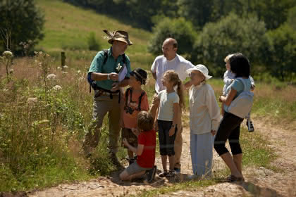
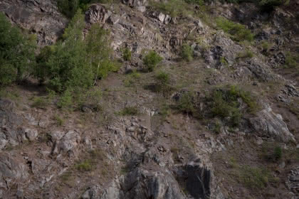
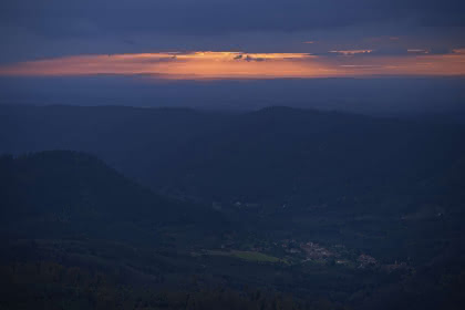
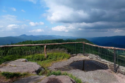
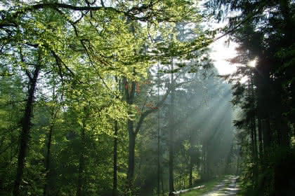
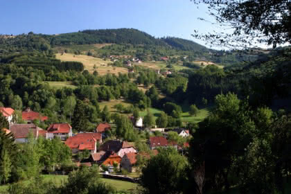
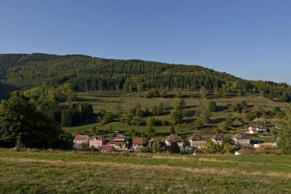
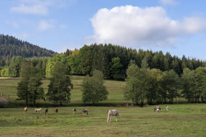
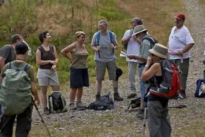
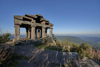
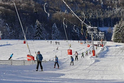
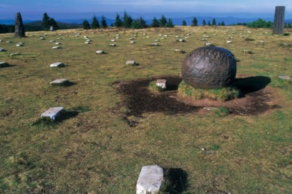
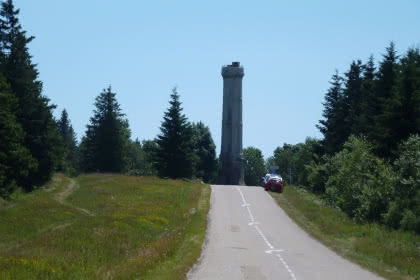
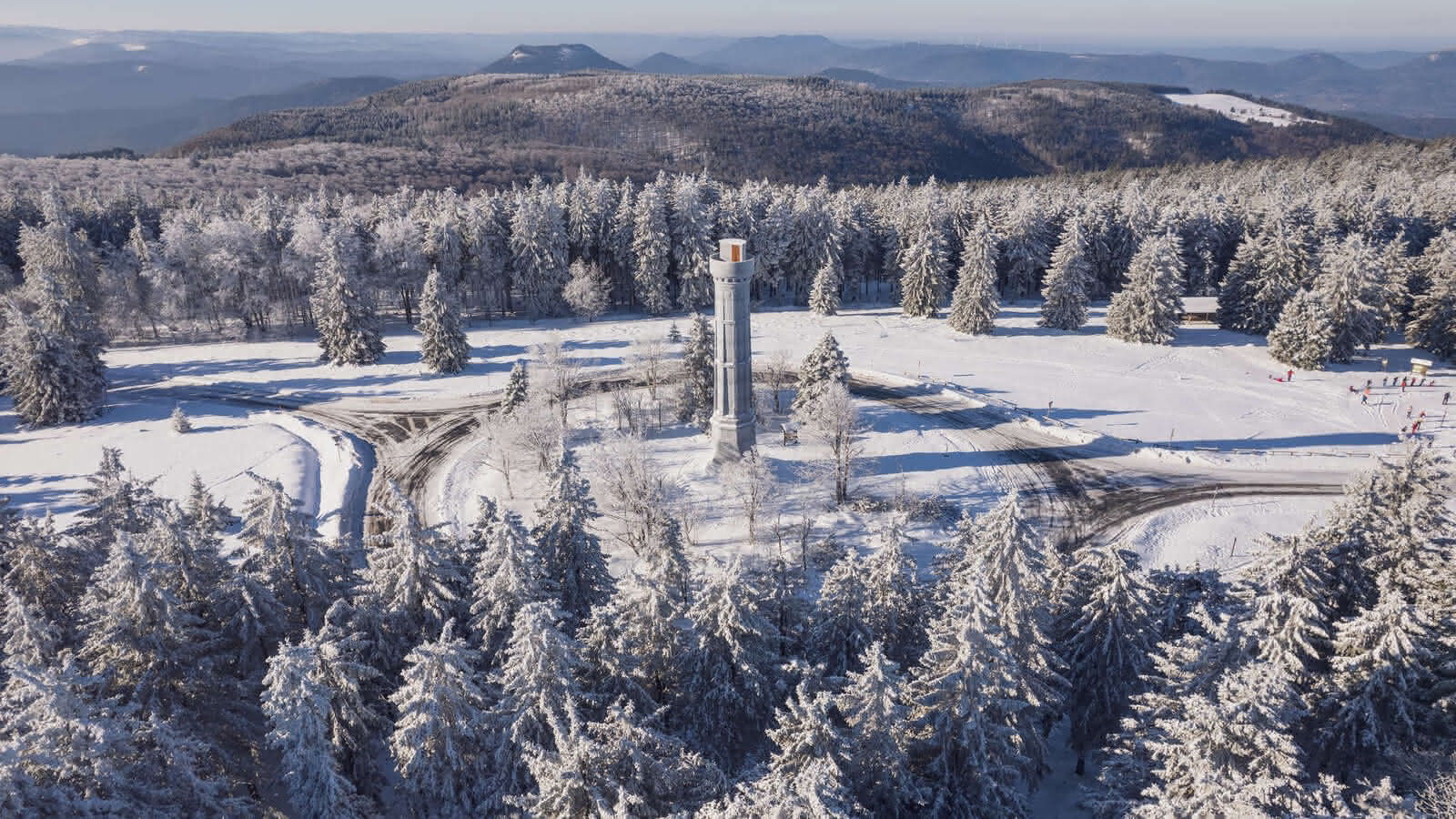
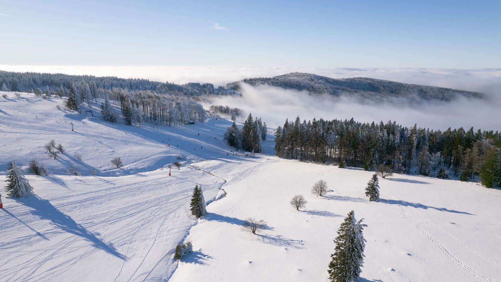
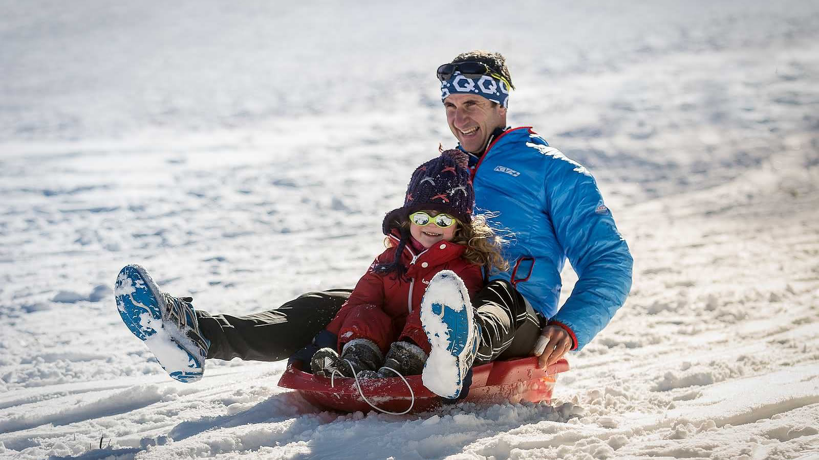
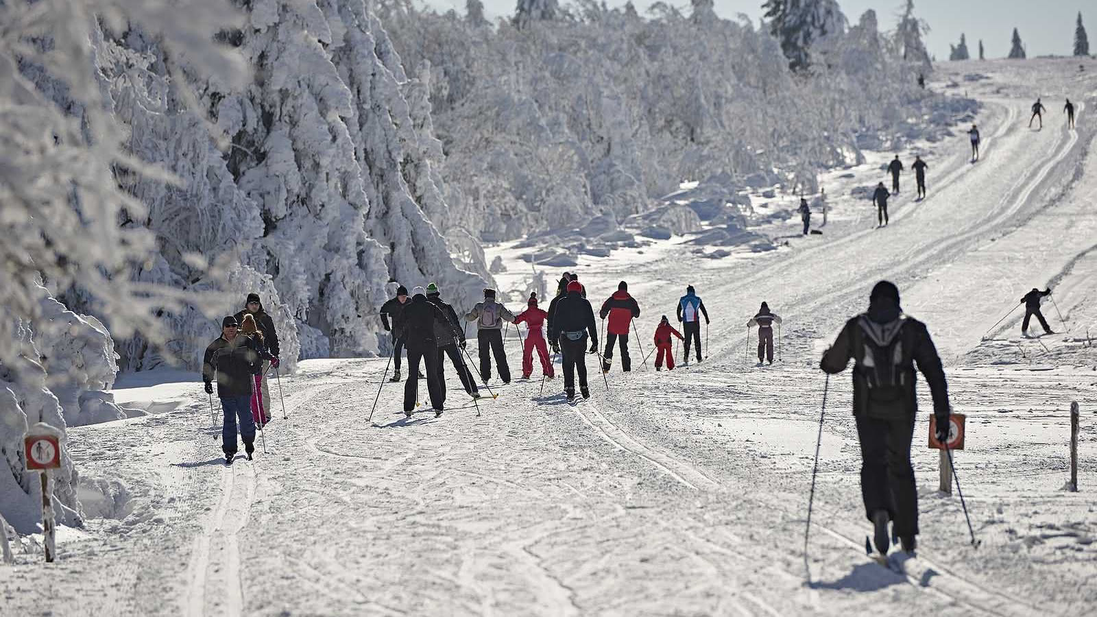
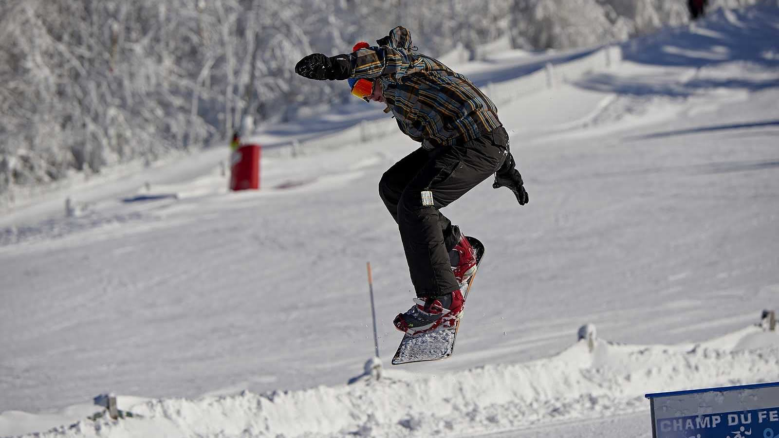
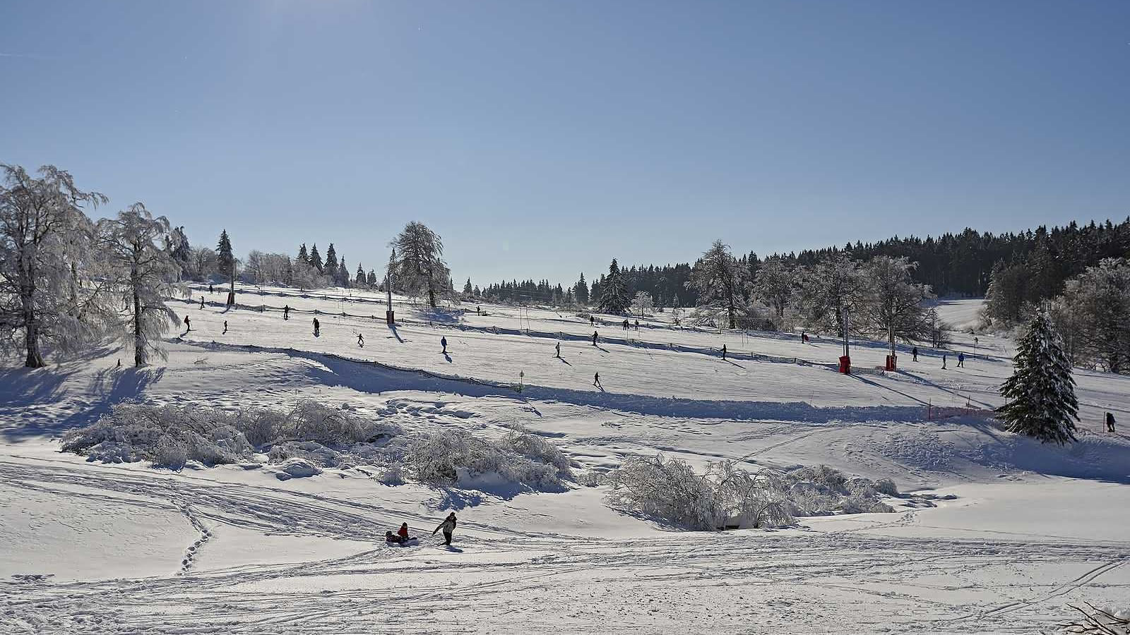
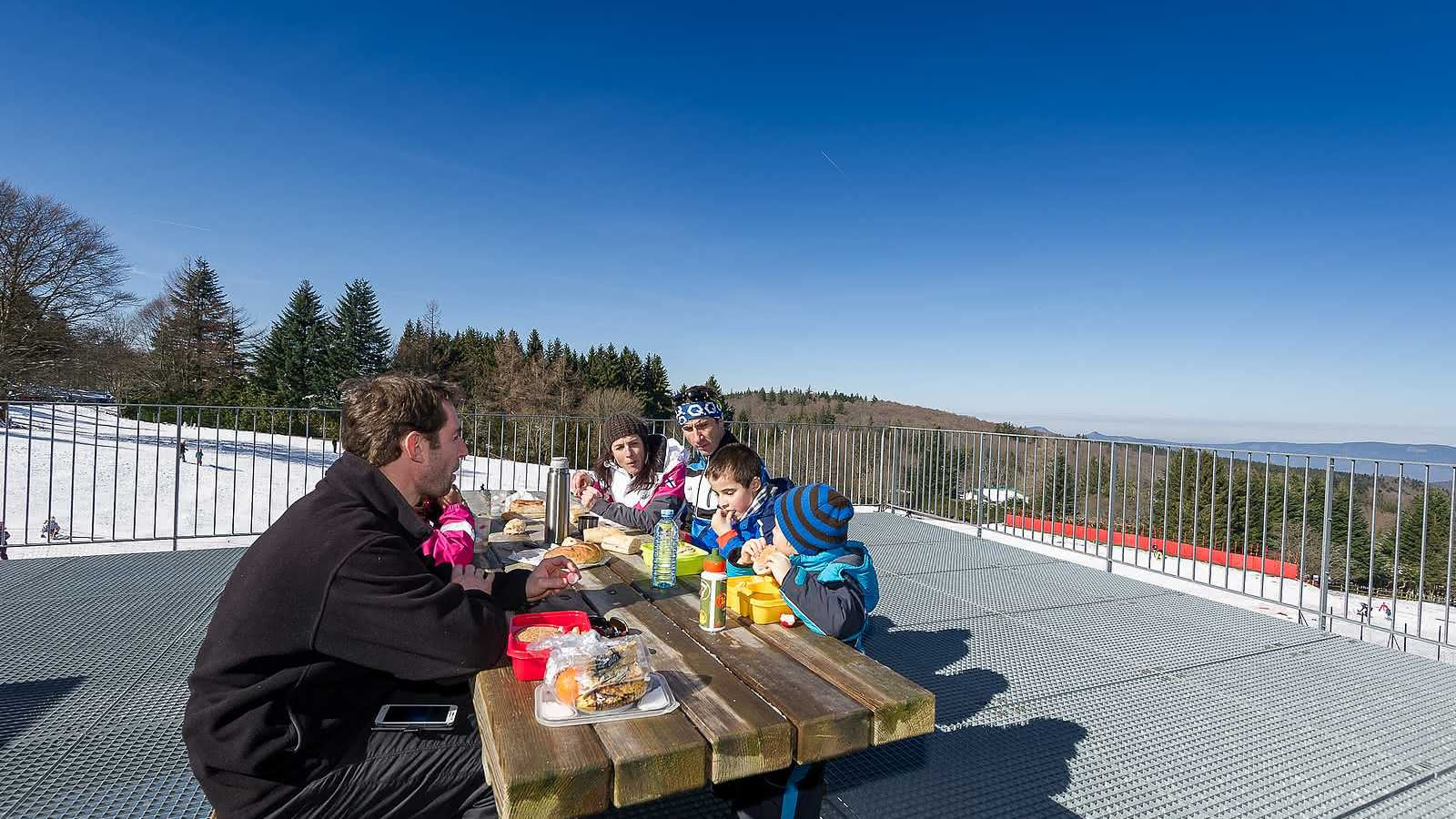
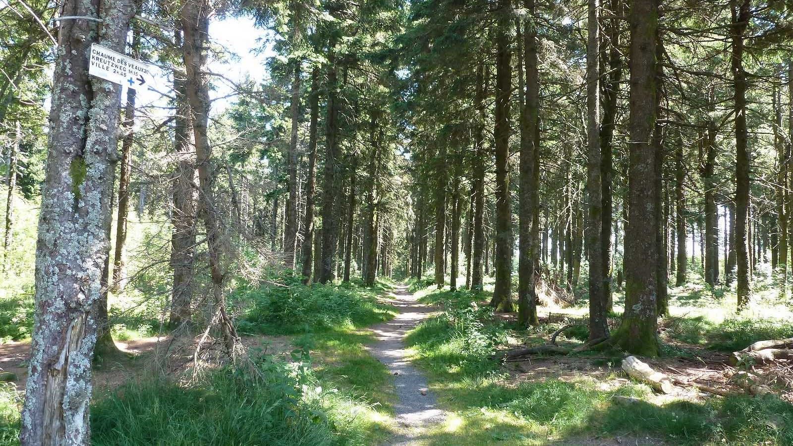
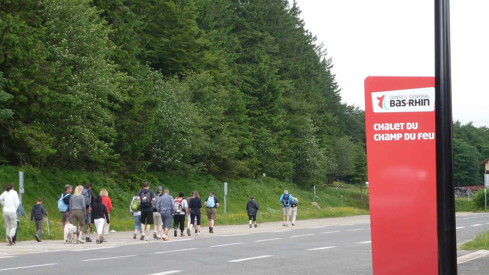
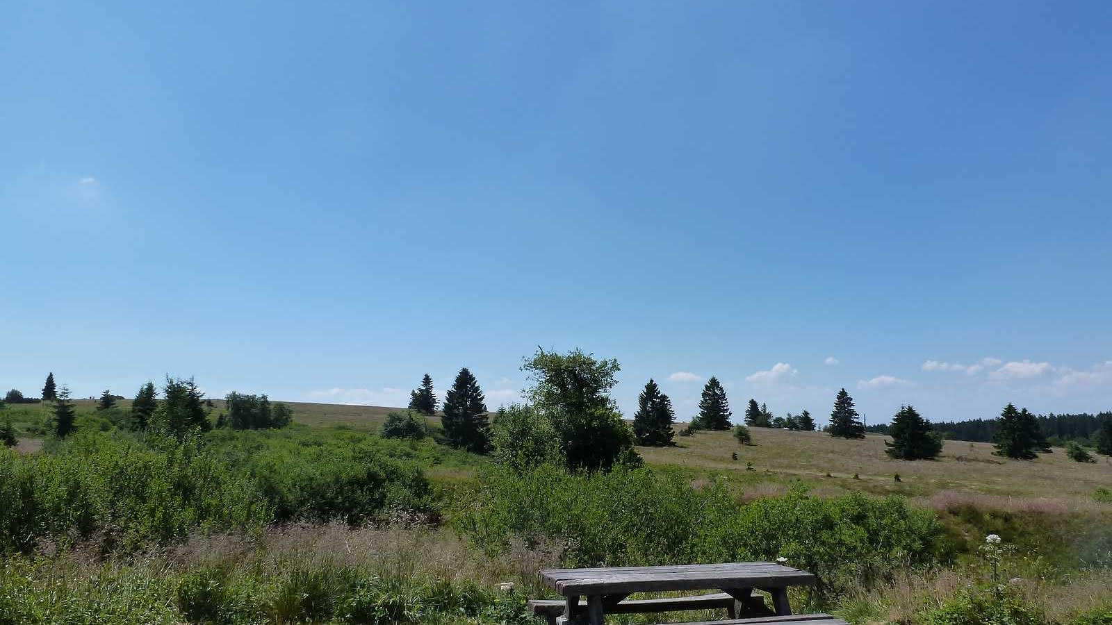
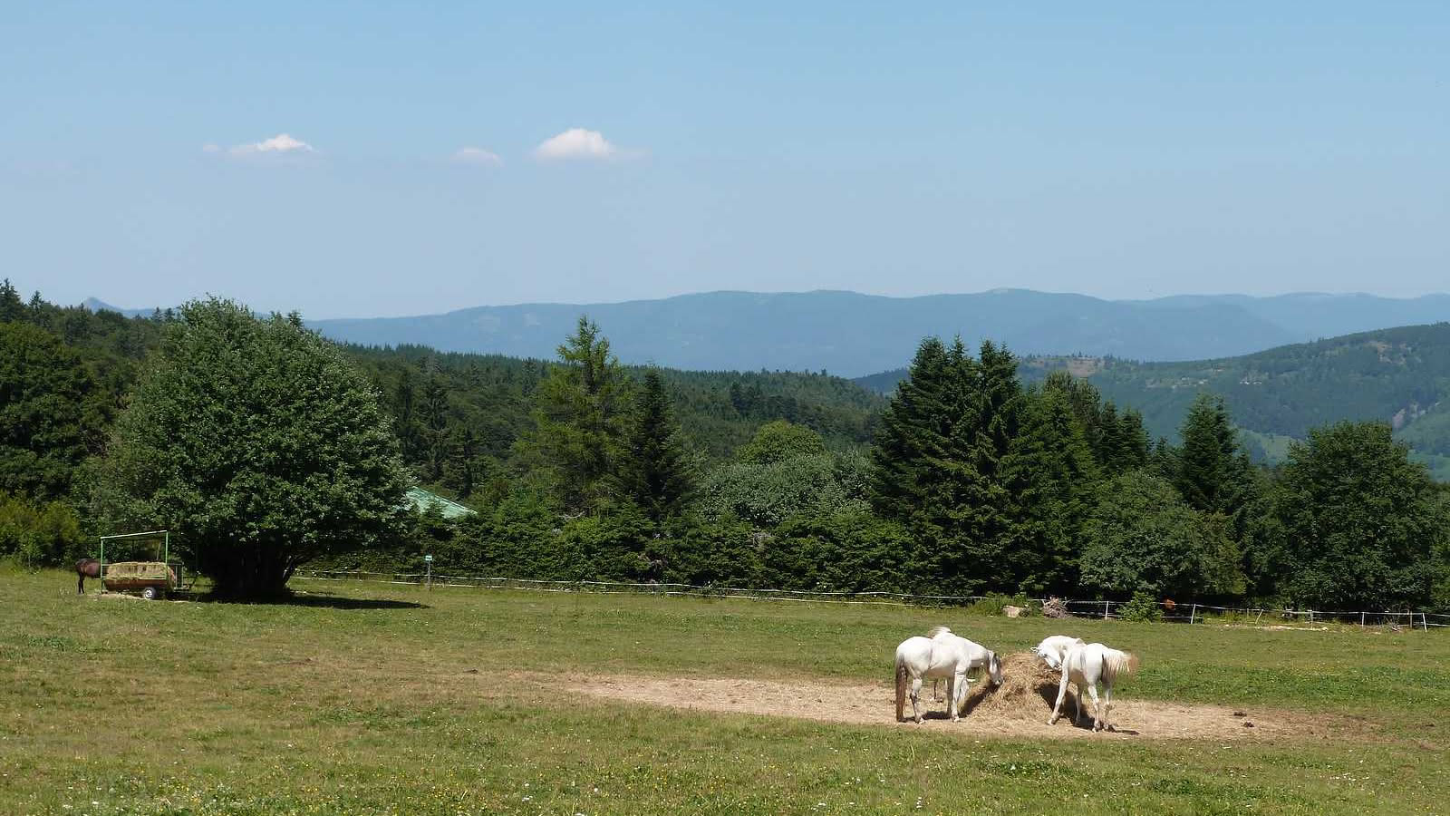
The Champ du Feu, standing at 1099 meters, is the highest point of the Lower Rhine. The vegetation of its mountain stubble fields and raised peat bogs make this natural site as fragile as it is exceptional. In the winter months, downhill skiers enjoy its snowcovered slopes and cross-country skiers happily partake in the many miles of groomed ski trails. The observation tower at the summit, still referred to as the Hohenlohenturm, was built in 1898 by the Club Vosgien. It is the symbol of the Champ du Feu. There are many hypotheses as to the origin of the name Champ du Feu (literally “field of fire” in modern French). It may come from Vehfeld (cattle field) or it may be a deformation of the name “Champ des Fées” (Field of the Fairies) or of “Champ du Faîte” (Field at the Summit). Other suggested origins include references to will-o'-the wisps seen because of the emanations of methane from the peat bogs and to fires in the coalfields. As the highest point of the Lower Rhine region, this granite hill range offers abundant high pastures making it ideal for hiking and winter sports (Alpine skiing, Nordic skiing, sledding, snowshoeing…).
Additional information
- Altitude : 1099m
- Distance to the nearest station (km) : 11km
- Type of visits proposed : Free visit
- Amenities services : Toilets
- Restaurant on site : Restaurant
- Practical services : Group reception, Local tourist information, Picnic room
Related events
Pleasure trails: Balade botanique
Freconrupt
Pleasure trails: La carrière du Struthof
Natzwiller
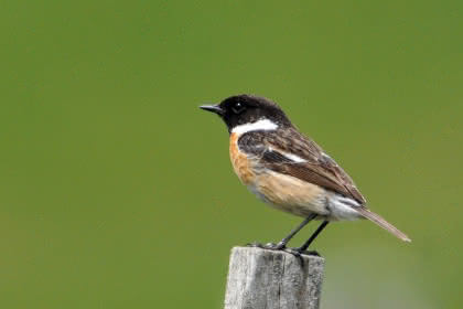
Pleasure trails: Observation des oiseaux
Belmont
Other dates
Pleasure trails: Rendez-vous avec la nuit
La Broque
Other dates
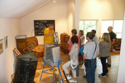
Pleasure trails: A la découverte du monde des abeilles
Colroy la Roche
Pleasure trails: Randonnée sur le plateau et versant de la Maxe
Grandfontaine
Pleasure trails: Randonnée vers la Chatte Pendue et Tête Pelée
Grandfontaine
Pleasure trails: Autour des sources de la Bruche
Bourg Bruche
Pleasure trails: Le vallon de Barembach et la côte des vignes
Barembach
Sentiers Plaisir : La Maxe et la Haute Loge
La Broque
Pleasure trails: Framont-Grandfontaine, la ruée vers le fer
Grandfontaine
Other dates
Pleasure trails: La mer des roches
Natzwiller
Other dates
Pleasure trails: Le château de la Roche
Bellefosse
Other dates
Pleasure trails: Jean-Frédéric Oberlin. Traces de l'oeuvre d'une vie
Waldersbach
Pleasure trails: Sur les traces de l'industrie textile
Rothau
Pleasure trails: Solbach, Saint Jean et la Perheux
Solbach
Pleasure trails: La clairière du Hang
Saales
Other dates
Pleasure trails: Le Sentier des Passeurs
La Broque
Pleasure trails: Les vestiges gallo-romains du Donon
Grandfontaine