


High waters island footpath
- 1h30 min
- 4km
- 0m
- Easy
" 
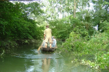
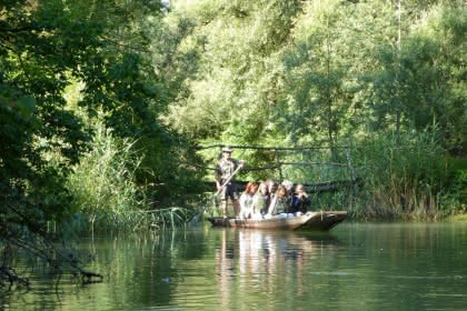
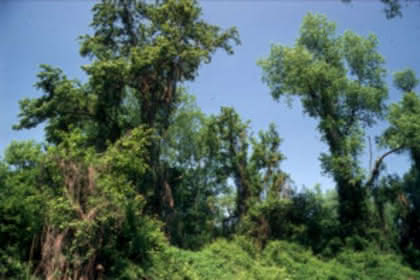
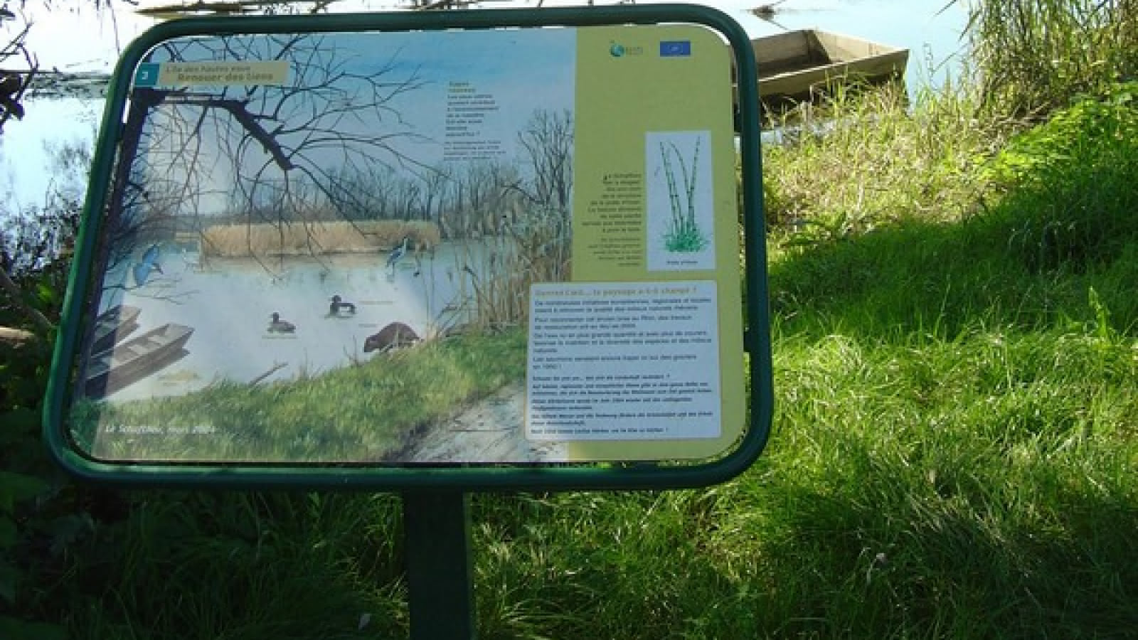
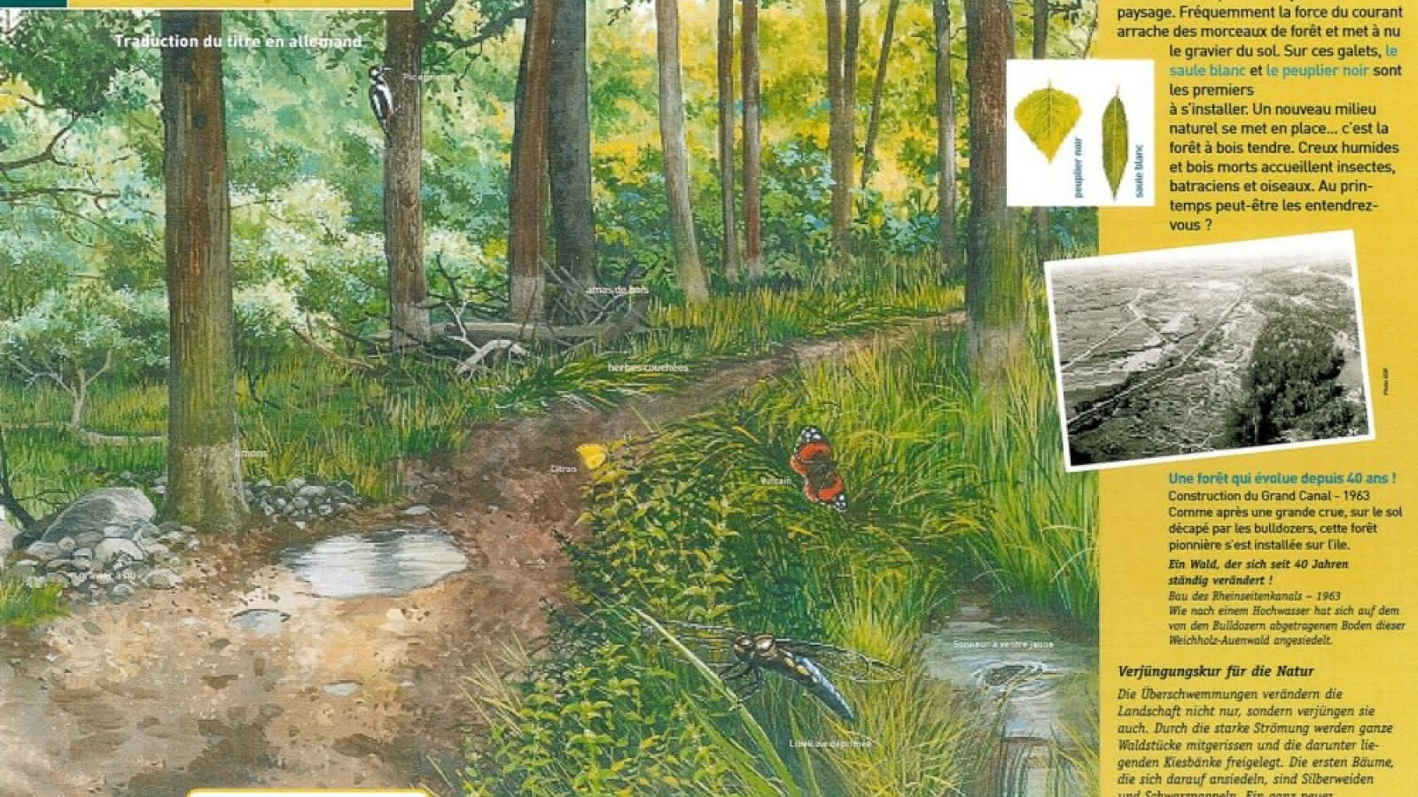
Sign-posted trail with educational panels: a village and its island, formation of the island of Rhinau (island located between the canalized Rhine and the river Rhine).Two loops, the loop with the dykes and the loops liable to flooding, from the characteristic of this circuit. The loop liable to flooding is impassable during the period when the Rhine's water level rises, which sometimes happens in winter but more often in May-June, when the snow thaws in the Alps, it's the Kirschenrhein or the Cherry Rhine.
Additional information
- Type of hiking trail : dirt path, path
- IGN Map : 3817 O, Benfeld


From to