
Le Tour de la Hingrie
- 4h
- 12,1km
- 450m
- Intermediate
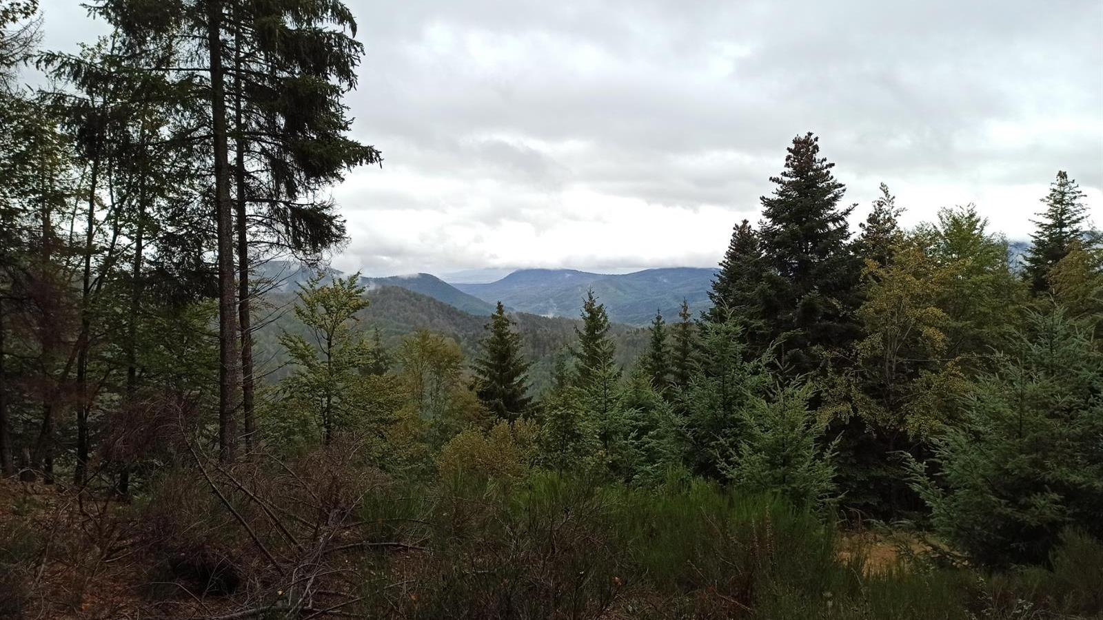
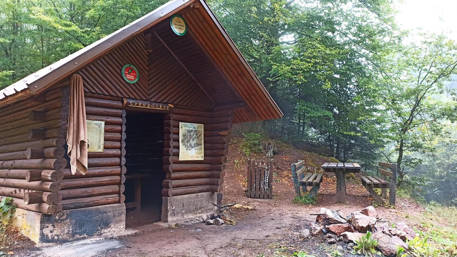
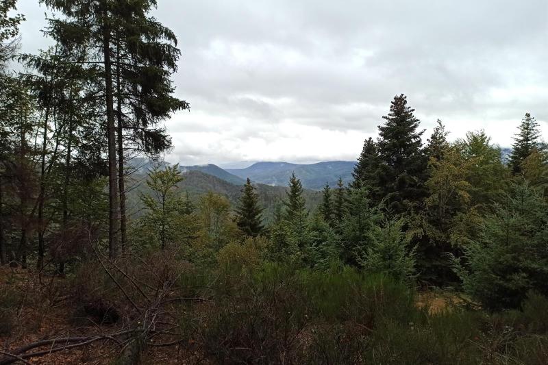
Departure from the Chapelle de La Hingrie Notre Dame Auxiliatrice (442m) erected in 1912 so that the inhabitants of La Hingrie would no longer have to go down to the village of Rombach-le-franc to attend mass. Take the red ring in the direction of Creux Chêne, a local witches' Sabbath site, the legend of which is recorded at the entrance to the Creux Chêne shelter. Then take the blue triangle on the slopes of the Barançon massif and follow the red disc or the sentier de Lorraine (medieval path linking Alsace and Lorraine) to reach the Col de La Hingrie. To reach the "Lieu dit des 3 bornes frontières" (Vosges - Haut-Rhin - Bas-Rhin) on the ridgeline path of the boundary markers built by Bismarck, follow the ridgeline. Continue on the blue disc towards the Col de Noirceux via the Col de Schlingoutte, where you'll find the graves of 19 French soldiers who died on August 15, 1914 on the Rombach le Franc commune, while on the Urbeis commune you'll find the site of the crash of an American bomber during WW2. Return to Col de Noirceux via the blue-red disc, then descend via the red Fôa chevalet to Chapelle de La Hingrie on the slopes of the Nalterin massif. Near the Chapelle de La Hingrie is the Club Vosgien Lièpvre Rombach le franc refuge (25 La Hingrie), the site of a former royal glassworks before the Baccarat glass and crystal makers poached the glassworkers from La Hingrie.
Additional information
- IGN Map : 3718 OT, Sélestat Col du Bonhomme Sainte-Marie-aux-Mines