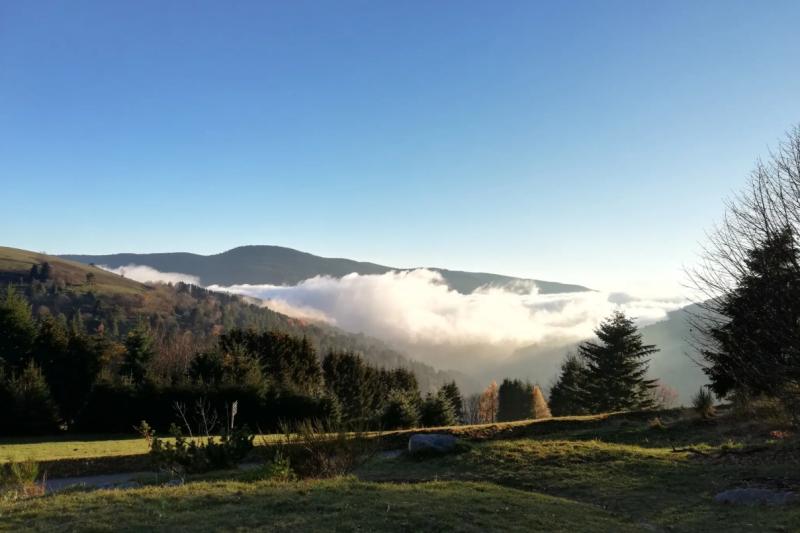


De Tellure au Col des Bagenelles
- 5h
- 13,3km
- 610m
- Intermediate
From the Tellure mining park parking lot, follow the road towards Col des Bagenelles for 600 metres.
Turn right onto the path that rises first into the meadows, then into the forest.
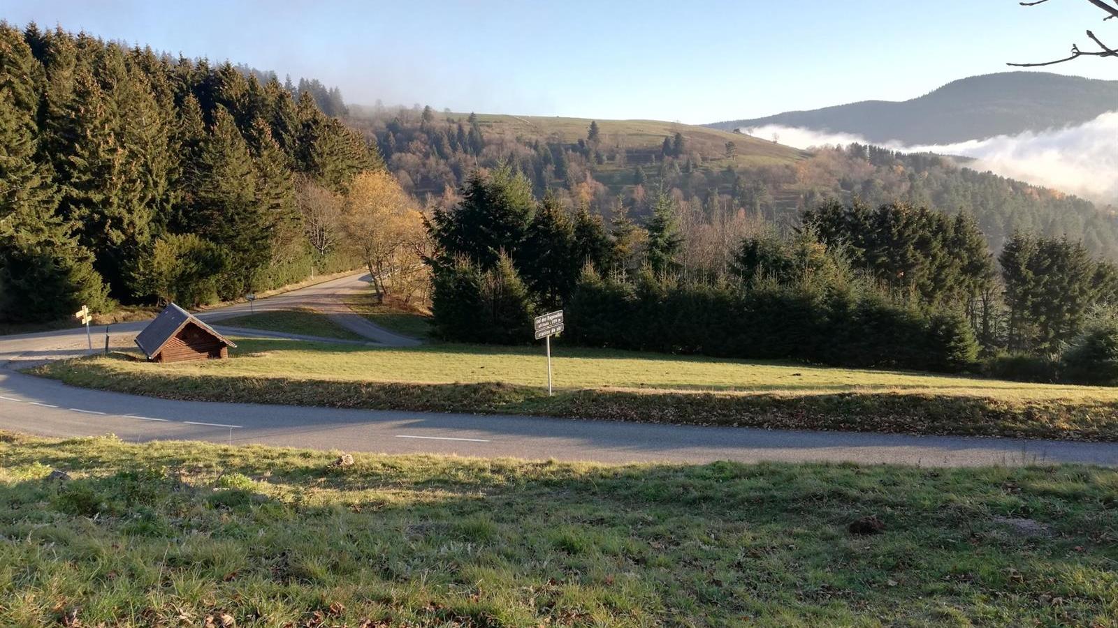
After a large hairpin bend, as you approach a pond, take the path to the right. You'll enter the forestum, where you'll discover some forty different trees, most of them unusual in our Vosges forests.
At the end of this area, when you reach the main road, go left for 300 meters and then turn right.
Take the upward path for about 2 kilometers. Turn right and climb the forest track for 200 meters, then turn left slightly uphill.
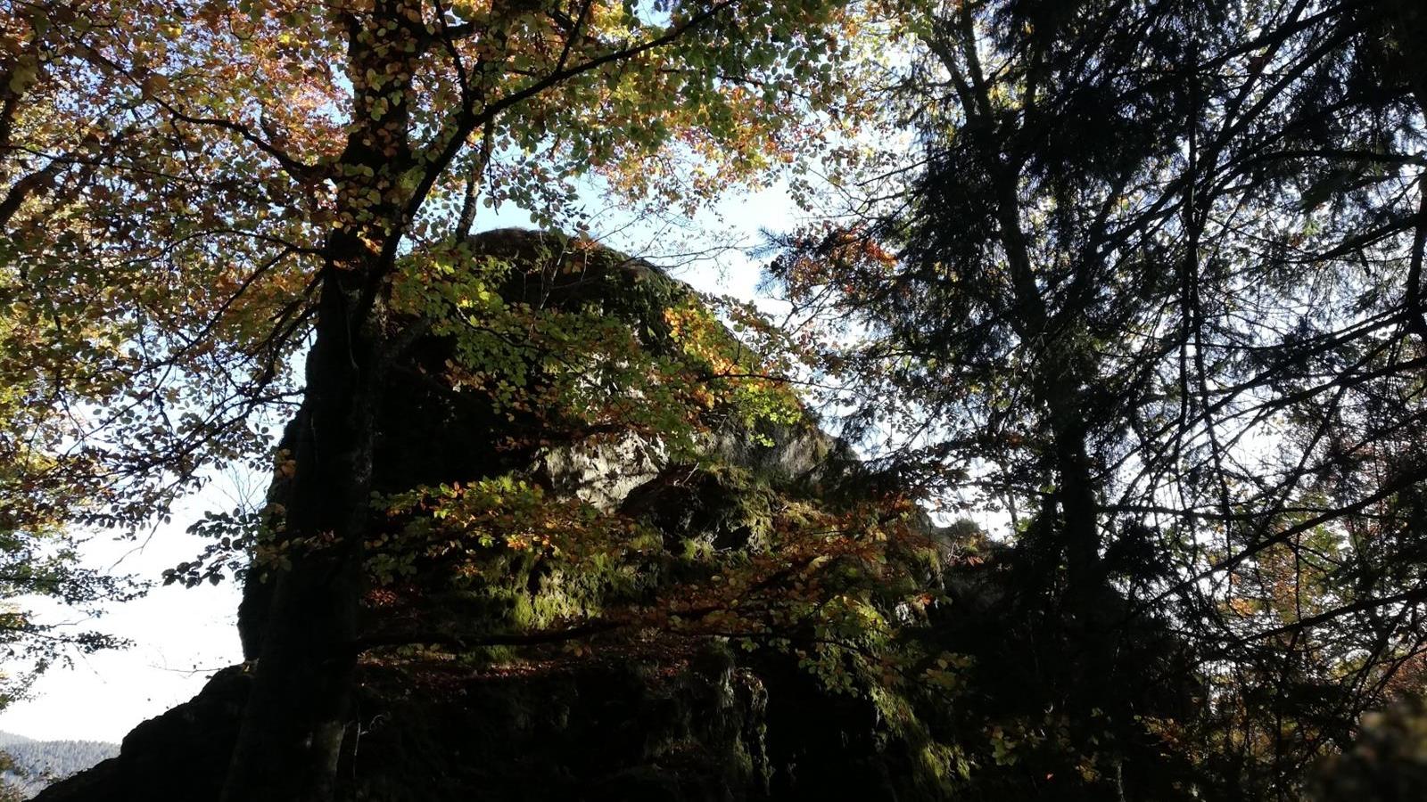
At a new fork in the road, keep left and continue uphill, passing under the Roche des Fées.
Continue up to the Col du Pré de Raves (picnic area).
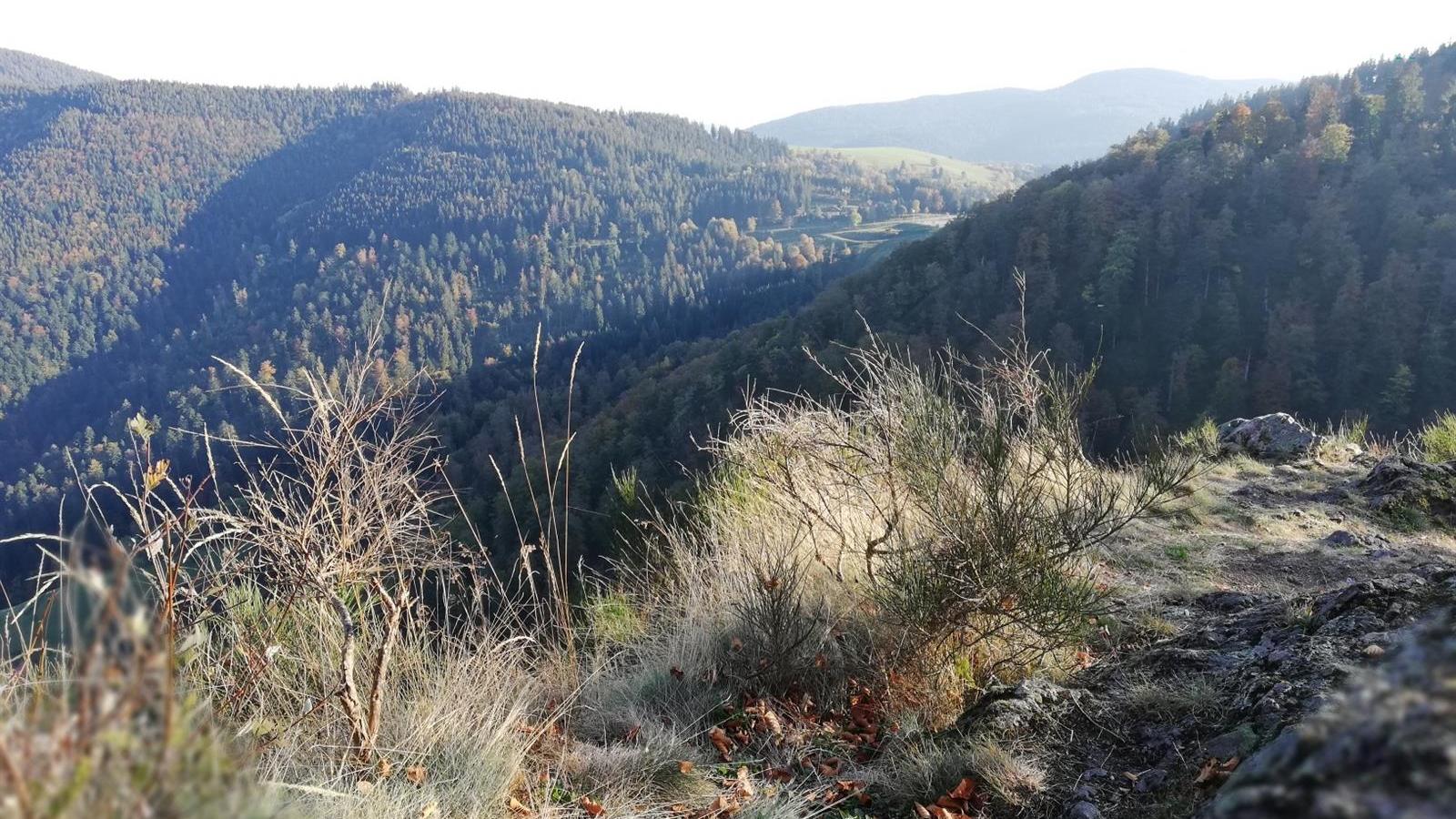
Go down the road on your left, past the Roche du Coq de Bruyères (beautiful viewpoint), continue down the road then turn left onto the path that will take you to the ferme auberge de la Graine Johé.
From here, take the tarmac road up to Col des Bagenelles (viewpoint - orientation table - Chalet Refuge of the Club Vosgien de Ste Marie aux Mines).
Cross the parking lot and the departmental road, and take the forest road that runs behind the Ste Marie aux Mines Club Vosgien chalet.
Additional information
- Type of hiking trail : path
- IGN Map : 3718 OT, Sélestat Col du Bonhomme Sainte-Marie-aux-Mines