


Walking trail : les hauts du canton
- Half-day
- 19km
- 228m
- Easy
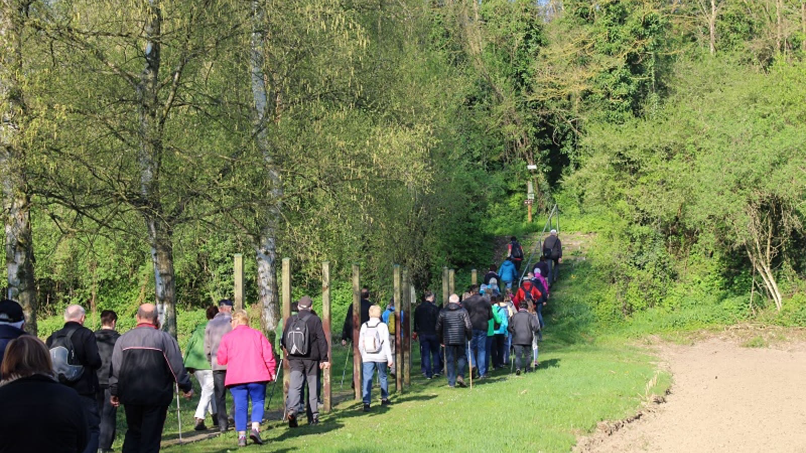
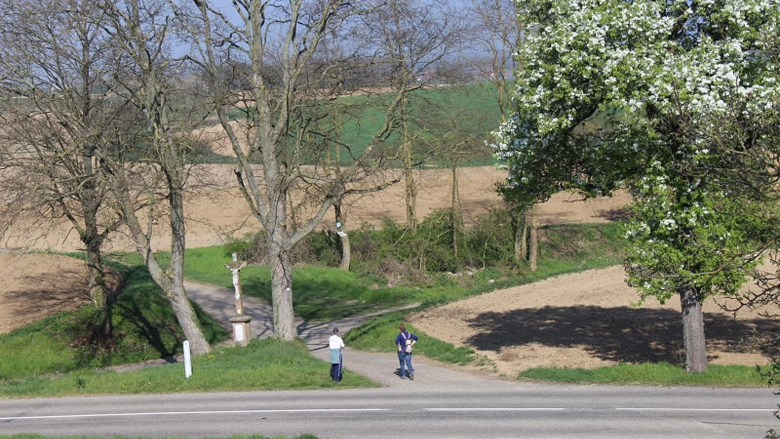
the Heights of the Canton of Lauterbourg. Starting in Lauterbourg from the fitness trail not far from the Plage des Mouettes, you follow the red circle, which will take you to the Croisée des Quatre Bans, from where we reach the heights of the canton: the Neeweiler Höhe, 183 m above sea level, to look down on the gateway to the Black Forest, the Rhine Valley, the Bienwald, the Pfälzerwald and the Northern Vosges. On the way back, this circular route passes close to the villages of Salmbach, Niederlauterbach and Scheibenhard. You can also get back to Lauterbourg by departing from the discovery trail at Salmbach or Niederlauterbach and taking the Lines of the Lauter trail (red rectangle) signposted by the Club Vosgien.
Additional information
- Type of hiking trail : dirt path, path
- IGN Map : TOP 25 3914 OT, Wissembourg
Download(s)
Related events
