


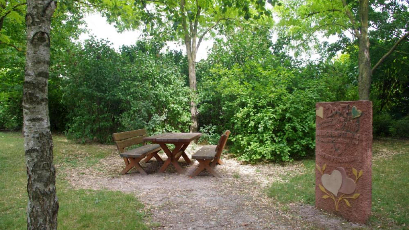
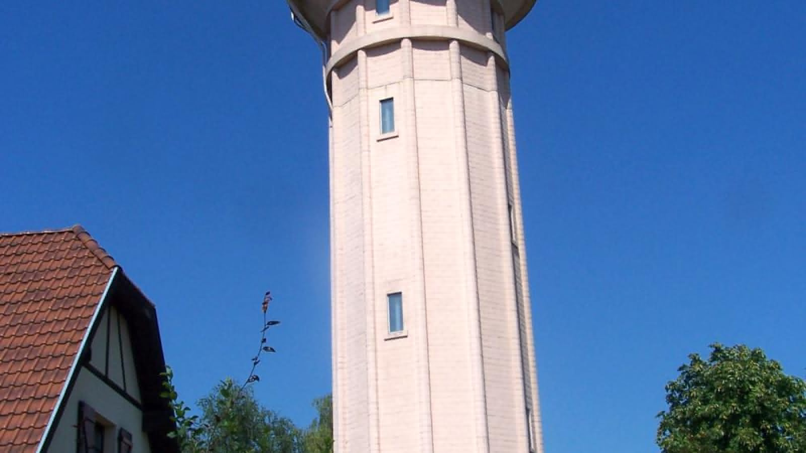
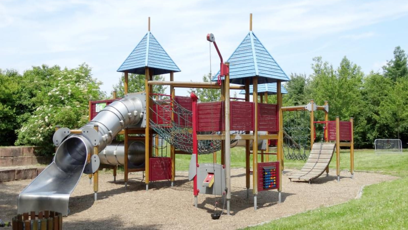
Sentier : autour du Château d'Eau
- 2h
- 6km
- Easy
" 
- Pets allowed : yes
Additional information
- Type of hiking trail : paved road, dirt path
- IGN Map : 3715 ET, Wasselonne Brumath Kochersberg
From to