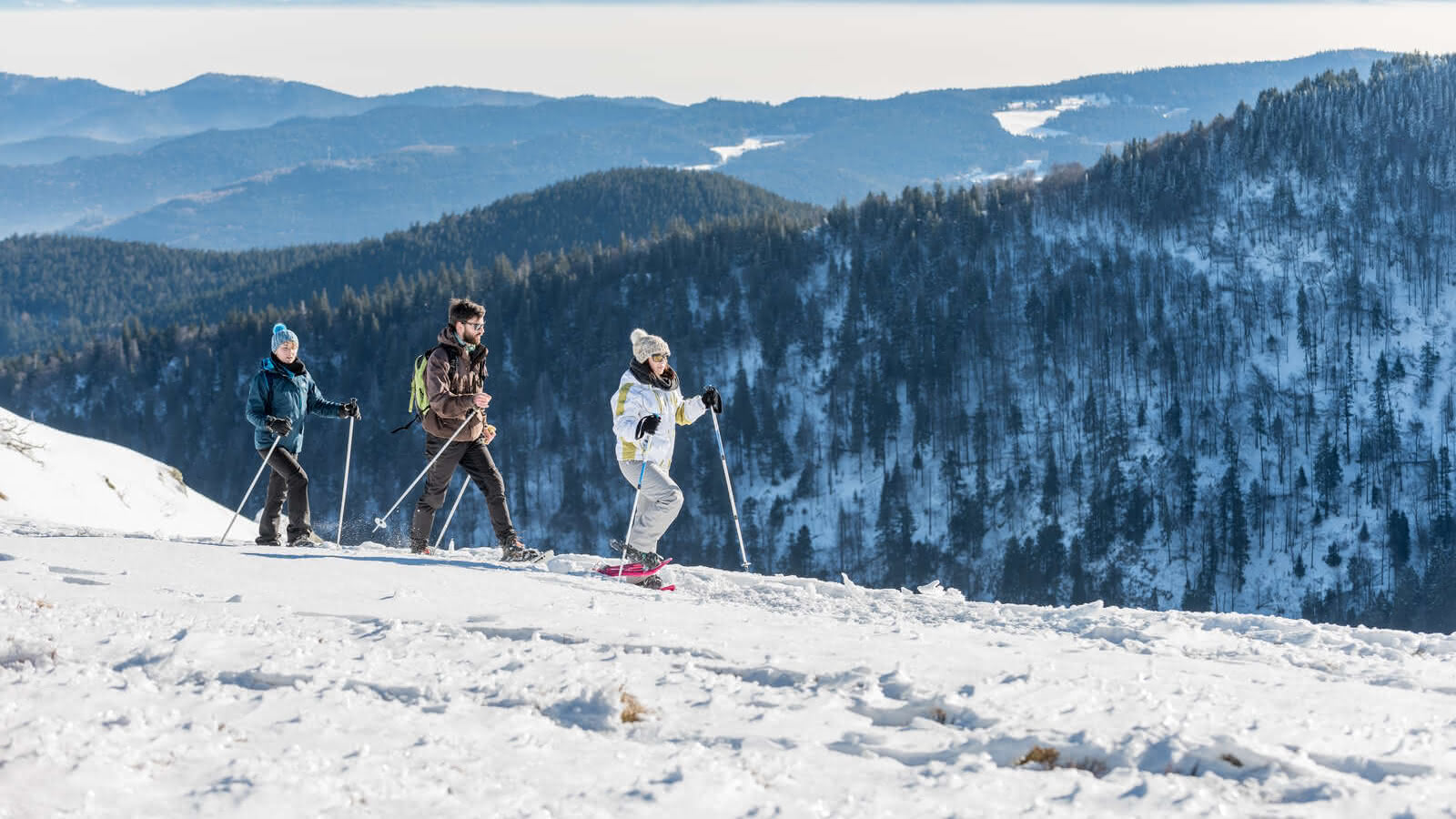
Snowshoe trail CDF04: From the Haut des Monts to the Schleiffe
- Half-day
- 10km
- 350m
- Intermediate
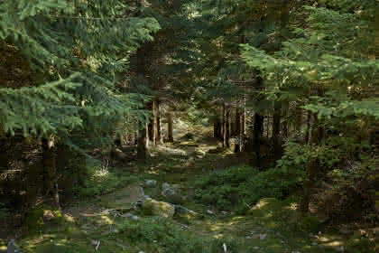
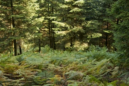
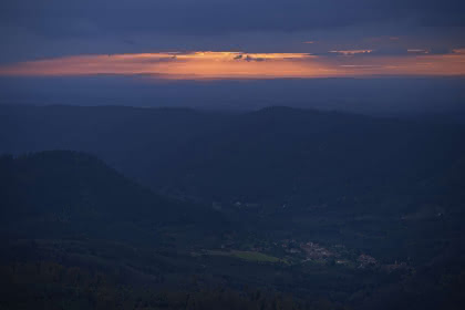
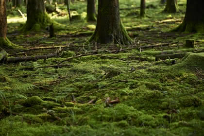
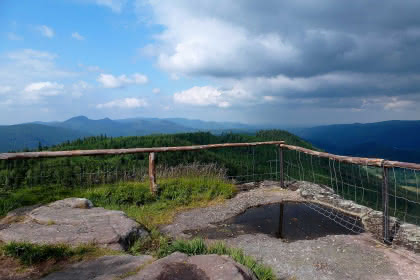
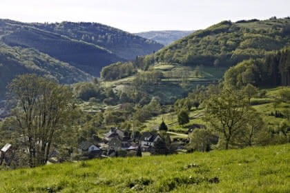
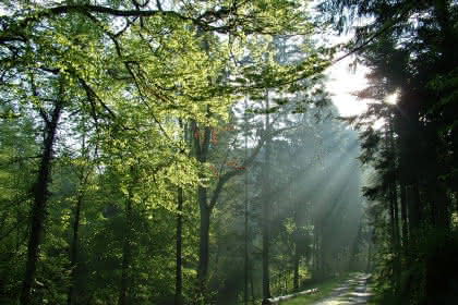
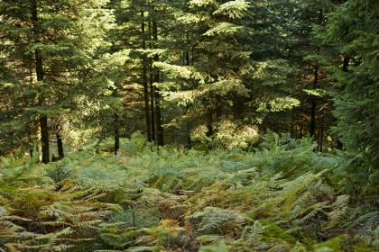
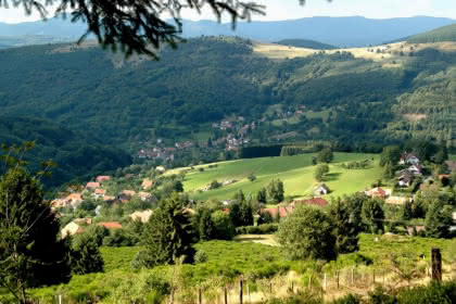
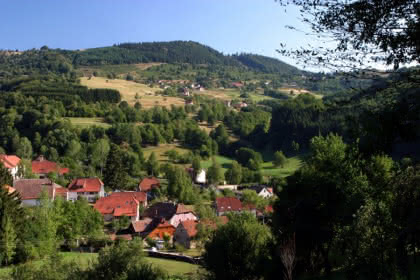
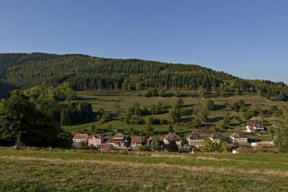
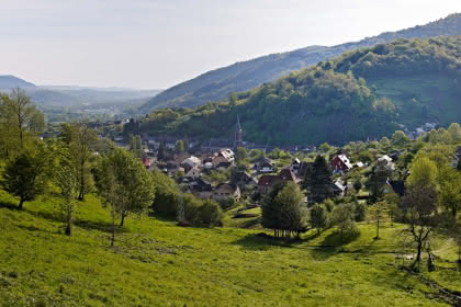
From the Serva, this circuit goes around the "Haut des Monts", up to the summit called "La Schleiffe". On either side of this massif lie the valleys of the Rothaine and the Schirgoutte. You cross the forest on the heights of Neuviller-la-Roche before returning to your starting point.
Warning: GPS tracking on a phone requires an adequate and well-charged battery. Low temperatures can reduce the capacity of batteries. For your safety, an external battery, a paper map and a compass are highly recommended during your winter outings. In addition, in January 2023, many hunting trips are planned in the Schleiffe area. We invite you to inquire before your departure at the town halls of Neuviller-la-Roche, Belmont and Wildersbach.
Additional information
- IGN Map : N° de la carte : 1/25 000 Champ du Feu et Bruche 25
Related events


