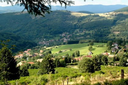
Hiking trail CDF12 : The upper Bruche valley
- All day
- 19km
- 840m
- Expert
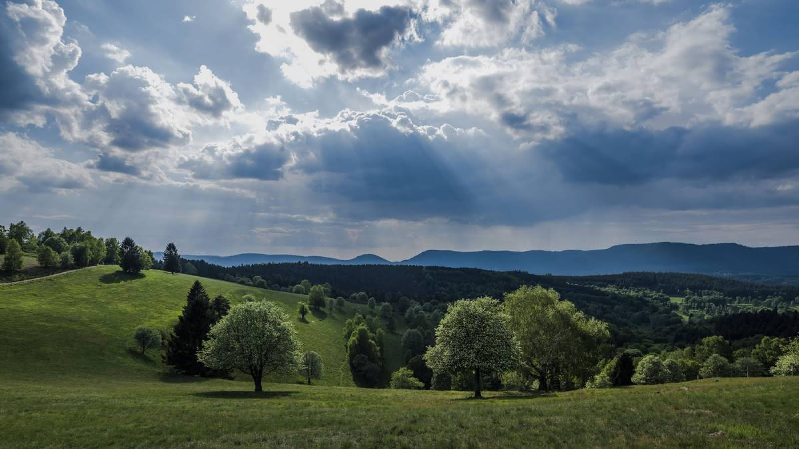
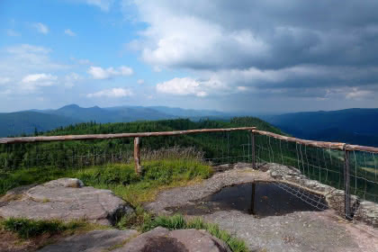
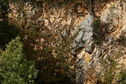
A woodland trail on the paths and forest roads around the Côte de Plaine within the Vosges and Alsace with the highlight being the Chatte Pendue peaking at 899m. But what makes the site so unique is its unusual name that has all sorts of stories surrounding it. It used to be called "Pirre hhatte pendaïe" meaning tall hanging stone. The guttural pronunciation of "H" or transcription mistakes turned the "hhatte" into "chatte" meaning female cat.
Additional information
- IGN Map : N° de la carte : 1/25 000 Champ du Feu et Bruche 25
Related events
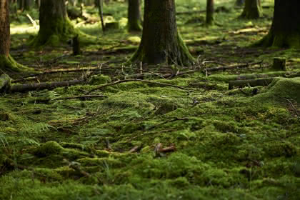
Pleasure trails: Balade botanique
Freconrupt
Pleasure trails: La carrière du Struthof
Natzwiller
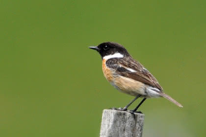
Pleasure trails: Observation des oiseaux
Belmont
Other dates
Pleasure trails: Rendez-vous avec la nuit
La Broque
Other dates
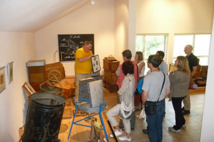
Pleasure trails: A la découverte du monde des abeilles
Colroy la Roche
Pleasure trails: Randonnée sur le plateau et versant de la Maxe
Grandfontaine
Pleasure trails: Randonnée vers la Chatte Pendue et Tête Pelée
Grandfontaine
Pleasure trails: Autour des sources de la Bruche
Bourg Bruche
Pleasure trails: Le vallon de Barembach et la côte des vignes
Barembach
Sentiers Plaisir : La Maxe et la Haute Loge
La Broque
Pleasure trails: Framont-Grandfontaine, la ruée vers le fer
Grandfontaine
Other dates
Pleasure trails: La mer des roches
Natzwiller
Other dates
Pleasure trails: Le château de la Roche
Bellefosse
Other dates
Pleasure trails: Jean-Frédéric Oberlin. Traces de l'oeuvre d'une vie
Waldersbach
Pleasure trails: Sur les traces de l'industrie textile
Rothau
Pleasure trails: Solbach, Saint Jean et la Perheux
Solbach
Pleasure trails: La clairière du Hang
Saales
Other dates
Pleasure trails: Le Sentier des Passeurs
La Broque
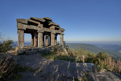
Pleasure trails: Les vestiges gallo-romains du Donon
Grandfontaine
See also
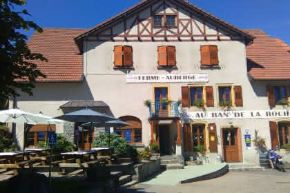
Ferme Auberge du Ban de la Roche
Bellefosse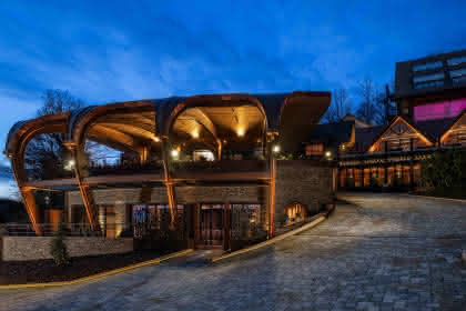
Hôtel Spa La Cheneaudière 5*
Colroy la Roche9.2/10
TrustYou rating
655 reviews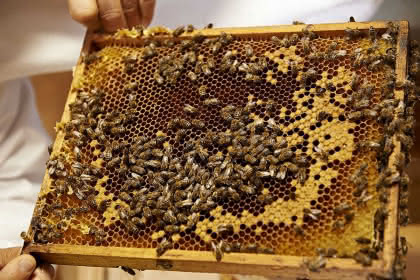
Beekeeping Centre of Charasses
Colroy la Roche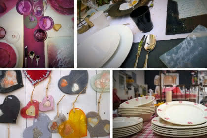
The Ehret Création Verre et Porcelaine workshops
Ranrupt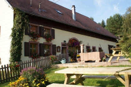
Ferme auberge du Promont
Ranrupt
Ban de la Roche Farm Bed & Breakfast
Bellefosse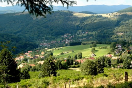
The castle of La Roche
Bellefosse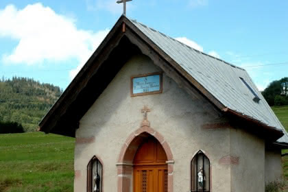
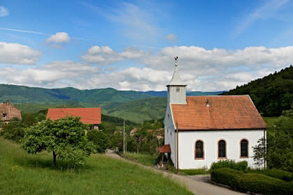
The Notre-Dame-des-Malades chapel
Ranrupt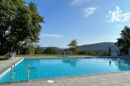
Swimming pool
Bellefosse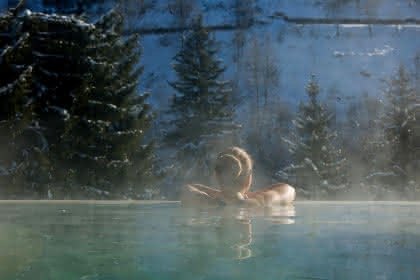
Hôtel Spa La Cheneaudière 5*
Colroy la Roche