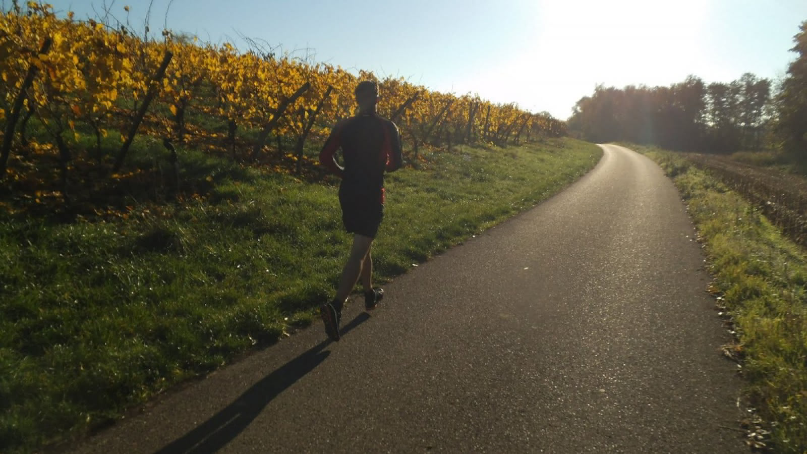
Hiking trail of the Bollenberg
Panoramic view
- 2h
- 7,3km
- 145m
- Easy
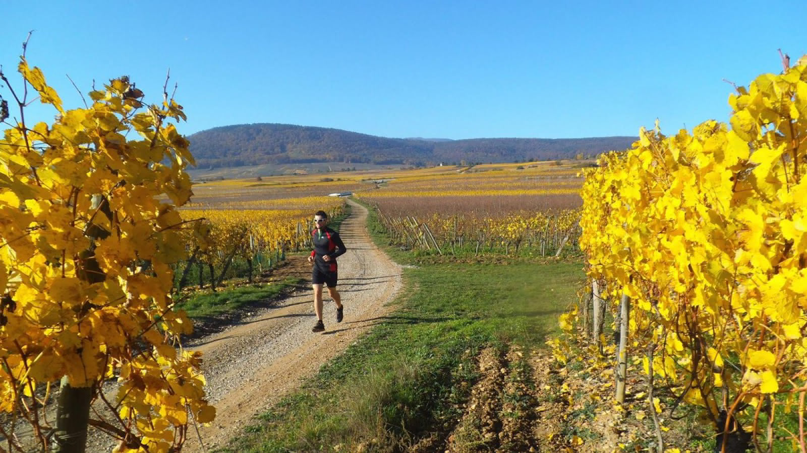
This trail allows you to visit the Bollenberg by being guided through the vineyard.
This area is known for its quality wine production. The signs are easier to find if you walk clockwise, but you can also walk in the opposite direction.
Our advice to you:
Be careful in the periods (June, July) when the vines are treated.
>br> >br> Directions:
Start: Rue du Bollenberg in 0rschwhir.
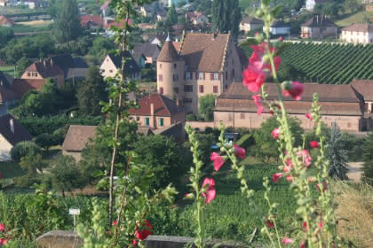
There is a parking lot opposite the belvédère under the chapel of Bollenberg.
Starting point 0.0 km:
Now take the bicycle route on your right, heading south.
Turn left 1 km
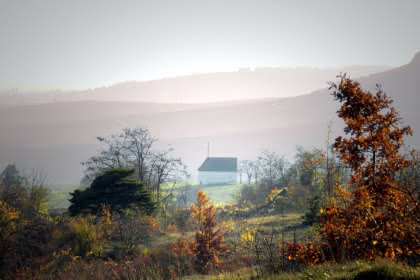
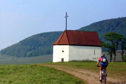
After 1 km turn left. Now take the route to your left, which is paved a bit wider so that cars could use this road. Cut the road and continue straight ahead until you reach the Chapel of the Witches, which is easily recognizable. The path narrows. The directions will help you get to the massif of the Bollenberg without going too fast.
Br> Bollenberg Chapel 2 km Br> Leave the chapel on your left and follow the road to the roundabout/crossroads. Once there, follow the path to your right. Follow the sign (blue ring) until you reach the supermarket. The initial path is narrow while it turns into a wider road.
Turn right 4.1 km
At km 4.9 turn right. The path now leads you off the drivable road onto a narrow, narrow path. This leads us to the Bollenberg domain, which we now cross step by step. Before the path leads down towards the roundabout/crossroads, this path goes steeply uphill after the bend. The climax is at the sixth kilometer at 336 m altitude.
traffic circle / crossing / parking lot 6,9 km
At the crossing go straight on until you reach the chapel, which you bypass to the right. The small path leads to the destination; the parking lot. Be careful on this path because it is not level and there is a risk of stumbling.
Arrival 7,3 km
Arrival at the parking lot.
Additional information
- Type of hiking trail : dirt path
- IGN Map : 3719OT, Grand Ballon, Guebwiller, Munster
Download(s)