Masevaux/Sickert walk: Roches du Galgenstein and Rocher de la Croix - Street 1
- 4h30
- 12,8km
- 600m
- Challenging
" 
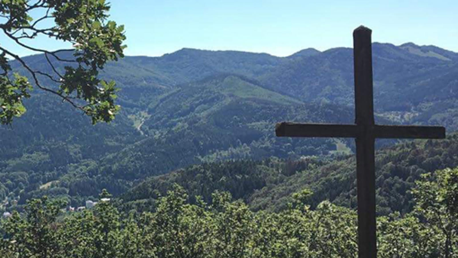
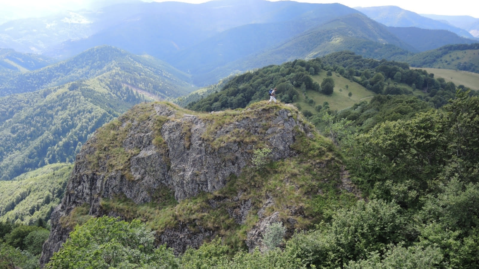
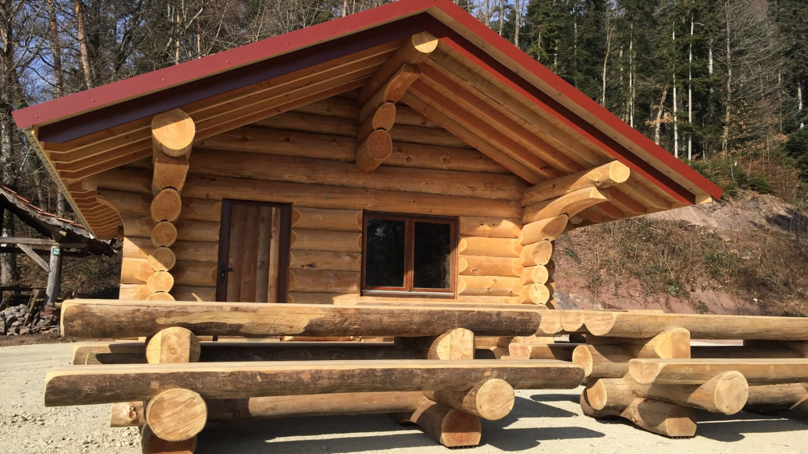
Accessible to walkers of average level, this trail runs between the towns of Masevaux and Sickert. During this hike, you will cross the Sickertbach and Willerbach streams, both of which are tributaries of the Doller. Once you arrive at Roches du Galgenstein, you will enjoy a very beautiful view. A pleasant stop can be made at the Sickertbach lodge. Detailed hiking maps and information on accommodations and dining are available at the Tourist Office of the Doller and Soultzbach Valley. Wearing hiking shoes is highly recommended.
Additional information
- Type of hiking trail : dirt path, path
- IGN Map : 3620 ET, Thann/Masevaux
Horaires et dates d'ouvertures susceptibles d'être modifiés en fonction des circonstances. Prenez vos précautions.
From to