

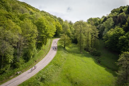
Walking tour: The Weierlé
- 3h
- 11km
- 440m
- Intermediate
" 
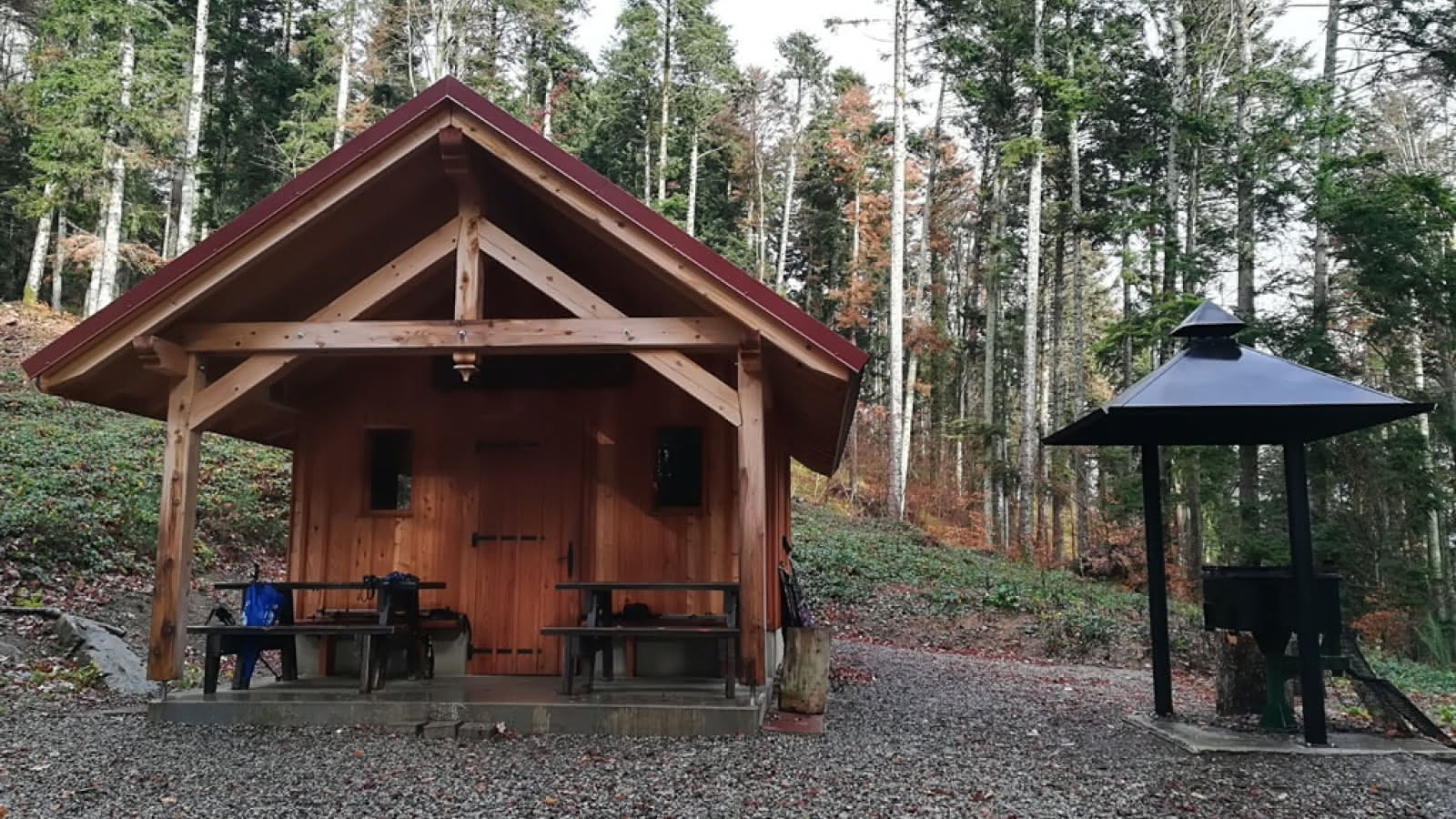
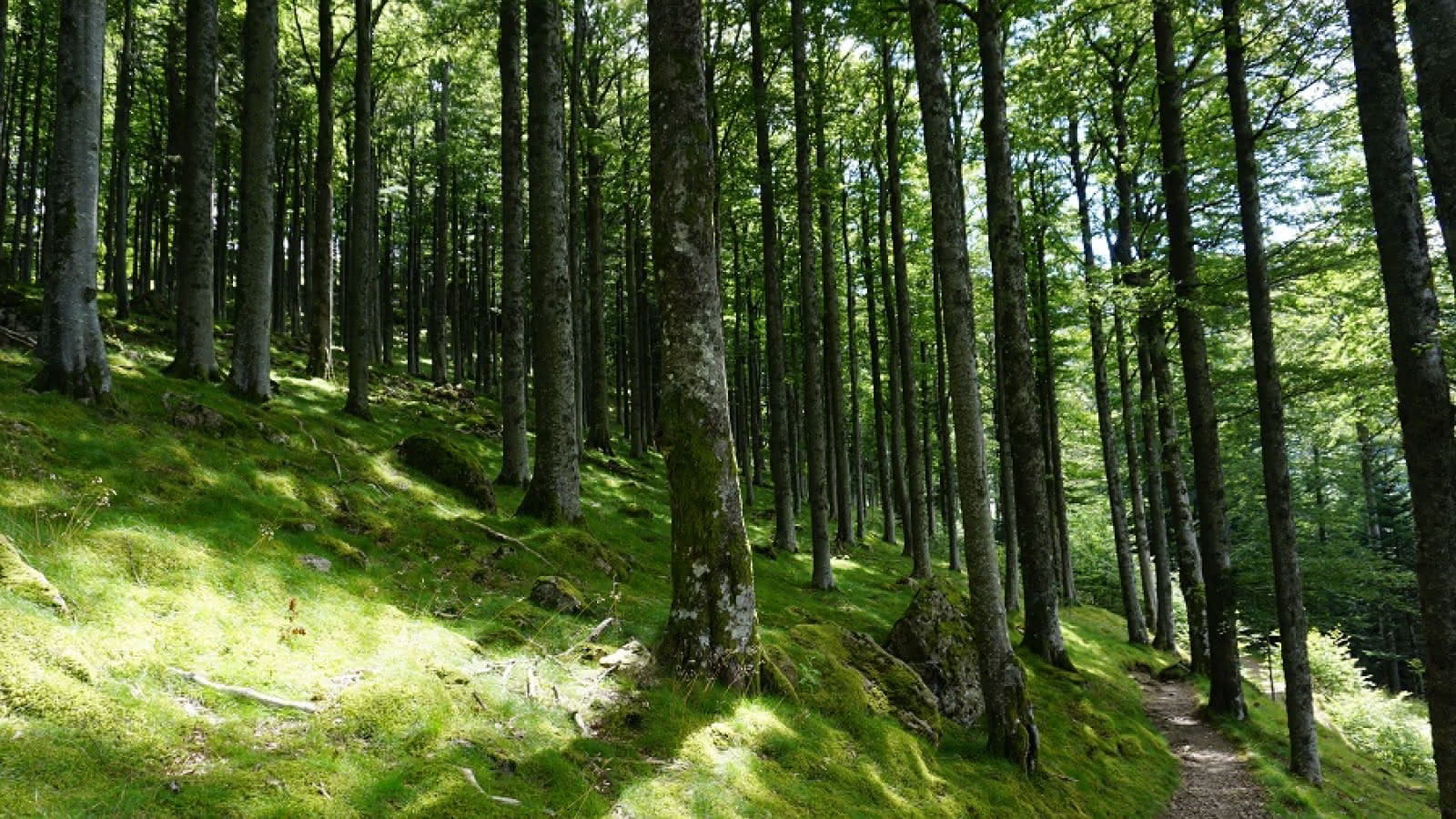
How to get to the starting point: From the city centre, cross the main road (RN66), then the level crossing on Rue Kléber to park your car on the square straight on your right, called “Place des Combattants d’Afrique du Nord”. Follow the Rue Kléber until the junction with Rue du Steinby. Take the latter for about 450 metres and cross the bridge on your left (after the sports hall at Steinby School). At the crossroads of Avenue Poincaré and Rue du Coteau, go straight on to reach Rue du Riegelsbourg (departure point). Key Markings: Red circle Description: At the end of Rue du Riegelsbourg, enter the forest path at the junction with Rue de la Forêt. Turn left onto the footpath (follow the red circle). Exit the path on the forest lane you will take upwards; then, on the first large bend, carry on straight ahead on a narrower path (red circle). Stay on this path to get to the top through the south slope. Near a bench, the path goes up towards the right in a forest (composed of various essences), until the ‘Petit Kurenbourg’ – 648m – called “Vue Zuber”, (another bench with beautiful panorama from the Thanner Hubel to the Grand Ballon). From the summit, leave straight on to go down the path (red circle) of the North slope. At the first junction, go down on your right to join the forest path that you will follow all the way back to the departure point of the walk.
Additional information
- Type of hiking trail : path
- IGN Map : 1/25000 3620 ET
Download(s)
Related events
Guided Tour :To the Engelbourg !
Thann
Other dates
Who's this ? A child's eyes level tour of Thann's Statue
Thann
Other dates
In the footsteps of Jeanne: a tour of medieval Thann
Thann

Other dates
Pine trees burning
Thann
Fun walk in Thann
Thann
Attitude pass: Hartmannswillerkopf
Uffholtz
Other dates
Tour: Names and streets
Cernay
Other dates
City tour : Discover the cultural heritage of wine culture in Thann
Thann
Other dates
Discovery tour: a new look at Thann
Thann
Other dates
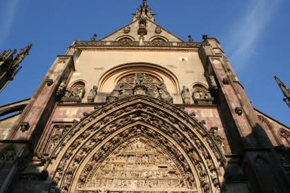
Flash visit: Great Portal of the Collegiate Church
Thann
Other dates
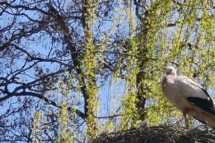
Short Visit : Meeting the Storck
Cernay