
Mountain bike route: Dreibannstein Route
- 1h30 min
- 8,35km
- 141m
- Easy
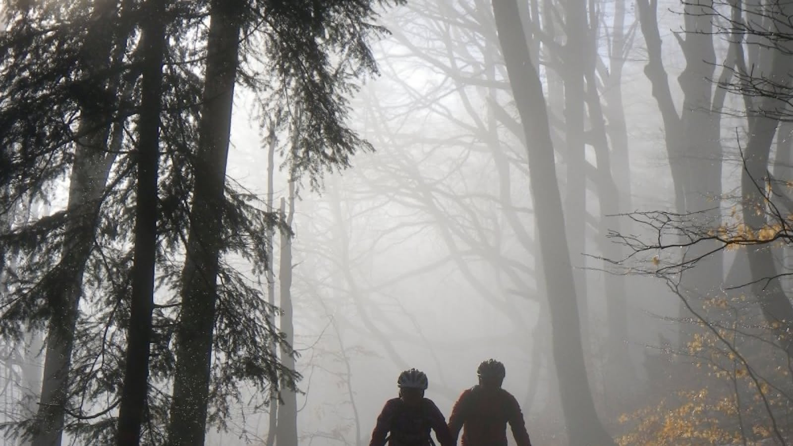
This lovely forest hike can be enjoyed by the whole family with a welcome break at the Dreibannstein shelter. Bannstein: the location of a boundary stone, marking the boundary of the banishment, here that of Schweighouse. Dreibannstein: beautiful mark that the political organization has left in toponymy: this is where the territories of Buhl, Guebwiller and Orschwihr meet.
Level: Very easy
Start: Bannstein Col
Distance: 8.35 km
Difference in altitude (positive gain): 141 m
Communes crossed: Lautenbach, Bergholtz-Zell, Orschwihr and Soultzmatt
Additional information
- Type of hiking trail : path

