
Hiking route: Lautenbach-Zell, Hohrupf, Buhl, Lautenbach-Zell
- All day
- 17,5km
- 395m
- Intermediate
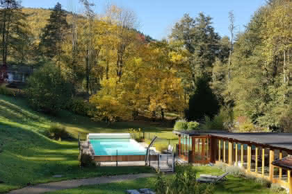
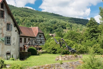
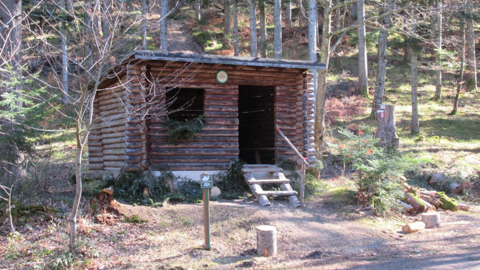
This relatively long hike does not present any particular difficulties. You will pass through the districts of Lautenbach-Zell and Buhl, and alternate between forests and prairies.
Duration: 5h
Length: 17.5 km
Accumulated altitude: 395 m
Hiking sheet and topographic guide are available from the Guebwiller and Soultz Tourist Offices.
Additional information
- Type of hiking trail : path
Download(s)


